Research

Can flood-map revisions explain a manufactured-home community's changing site-risk record?

A research method for comparing flood-map versions, community records, and site observations without treating a map change as a property diagnosis.

MobileHomeBiz Research Desk8 minutes read5 sources citedVerified 2026-08-24
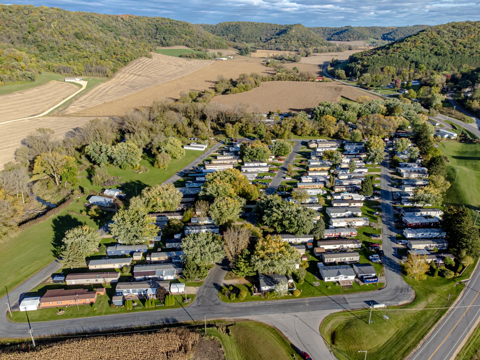
Can flood-map revisions explain a manufactured-home community's changing site-risk record? research illustration
Key finding: A map revision is a change in mapped evidence, not by itself a change in ground conditions

Key takeaways

  • Archive both map versions
  • Match geography and effective date
  • Escalate property conclusions to qualified reviewers

Can a revised flood map explain why a manufactured-home community's risk record changed, or does it merely change the way a public agency depicts the area? That distinction matters to an operator maintaining home files, drainage records, resident notices, and capital-planning evidence. A map is useful context, but a revised zone should not be rewritten as proof that one home flooded, that a site is safe, or that insurance or lending treatment will follow automatically.

Research question and scope

This review asks what a community record can defensibly say when a flood map, effective date, or panel changes. The unit of analysis is the map-version comparison connected to a defined parcel or community boundary. It is not a parcel-level engineering study. The intended reader is a manufactured-housing operator, records coordinator, or owner who needs a repeatable research trail before routing an issue to a surveyor, engineer, insurer, lender, or local authority.

The evidence scope is federal mapping guidance, the National Flood Hazard Layer, FEMA’s map-change process, and public hydrology context. Those sources describe mapped hazard information and process. They do not establish the elevation of a particular home, the condition of a drainage feature, or a claim outcome. Local files remain necessary for those questions.

Methodology

This route uses a version-controlled documentary comparison. First, identify the community boundary and the relevant home, pad, parcel, or access feature, then save the map panel or service layer name, effective date, panel number, and retrieval date for each version. Second, compare like-for-like geography: a parcel outline should not be compared with a mailing address or an entire census tract without recording that difference. Third, classify each observed change as a boundary change, zone-label change, base-map change, study update, or unresolved display difference. Fourth, test the chronology against local records such as drainage work orders, dated photographs, rainfall notes, and resident reports. The comparison records what changed in the evidence and what remains unknown; it does not calculate flood depth, assign a home-level hazard, or decide insurance, lending, or regulatory treatment. This method is intentionally narrow so an administrative research record can be checked by the qualified reviewer who owns any technical conclusion.

Method

Start with an immutable copy of the older map reference: panel number, effective date, layer name, access date, and the boundary used. Capture the same fields for the newer reference. A useful comparison log has separate columns for source version, geographic identifier, visible zone, map change type, and reviewer note. Do not put “risk increased” in the change-type field unless a qualified reviewer has made that determination; “zone label differs” is a more faithful first observation.

Next, align the public layer with the community’s own geography. A street address, parcel number, park boundary, home pad, and utility easement are not interchangeable identifiers. Record which one was used and whether the boundary was approximate. If a community spans panels or jurisdictions, keep each panel as a separate evidence item rather than compressing the result into one label.

Finally, compare the map event with dated operating evidence: drainage work orders, rainfall observations, resident reports, inspection photographs, and access constraints. This is a chronology exercise, not a causation test. A work order after a map revision may be relevant context, but it does not prove the revision caused the work or that the work solved a hazard.

What the sources establish

FEMA explains that flood maps are used for hazard communication and regulatory purposes and can be revised as data and studies change. The National Flood Hazard Layer provides a digital representation of effective flood-hazard information. FEMA’s map-change resources distinguish processes such as Letters of Map Amendment and map revisions. The USGS National Water Information System provides stream and groundwater data that can add hydrologic context, but a gauge reading is not a measurement of every pad in a community.

These are facts about public evidence systems. The analysis is what they mean for a local record: an operator can preserve provenance, compare versions, and route unresolved differences. The operator should not infer a home-specific flood depth, structural condition, or insurance eligibility from a screenshot. That boundary keeps administrative research from becoming an unqualified technical opinion.

A practical evidence ledger

Record What it can show What it cannot show
Prior and current map panels The published map versions and dates Actual water depth at a home
Change document or process record Why an agency describes a revision That every local condition changed
Rainfall or gauge context Regional or measured hydrologic conditions A complete site drainage diagnosis
Work order and photograph What the team observed or repaired That a repair meets engineering requirements

The ledger should preserve the original URL, download date, file name, and reviewer. If a map service changes its interface, an archived citation and the public document identifier make the record more durable than a browser bookmark alone. An assistant can maintain the ledger and identify missing fields. A licensed professional or public authority owns conclusions that require technical judgment.

Interpretation limits

Flood-map boundaries can be generalized, updated on different schedules, and displayed at scales that obscure small features. A community can have drainage problems outside a mapped high-risk area, while a mapped area does not mean every structure experiences the same exposure. Rainfall varies spatially; a nearby gauge may not represent a site. Local grading, culverts, finished elevations, foundations, and maintenance conditions also matter.

The comparison therefore supports a careful statement such as: “The published map reference changed between these effective dates; local records require review.” It does not support: “The community became unsafe,” “the home is outside all risk,” or “the map guarantees a claim or financing result.” Those stronger claims exceed the evidence scope.

Evidence-led conclusion

A flood-map revision can explain a change in the public risk record only at the level of the map, panel, boundary, and effective date. The defensible operating response is to preserve both versions, align identifiers, attach local observations, and route technical or regulatory questions to the responsible professional. The central finding is simple: a map revision is changed mapped evidence, not by itself a changed ground condition. That distinction gives a manufactured-home community a clearer research trail and prevents a public layer from being mistaken for a site diagnosis.

Sources

  1. https://www.fema.gov/flood-maps
  2. https://www.fema.gov/flood-maps/change-your-flood-zone
  3. https://hazards.fema.gov/femaportal/wps/portal/NFHLWMS
  4. https://www.usgs.gov/mission-areas/water-resources/science/national-water-information-system-nwis
  5. https://www.fema.gov/flood-maps/living-maps