
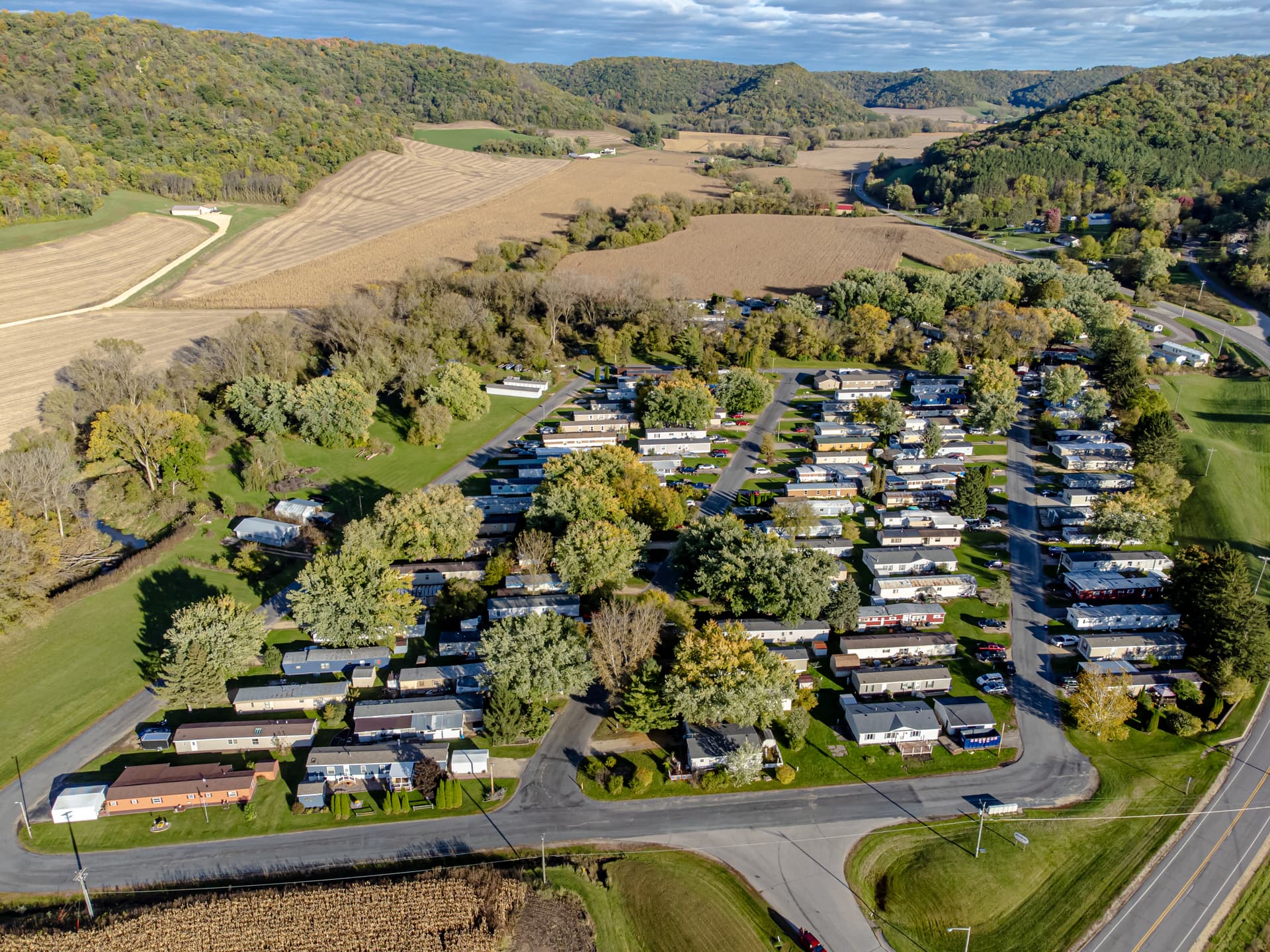
This research question is what national wildfire information can establish about manufactured-home communities. The population is communities located in or near the wildland-urban interface and other mapped fire-risk areas. The period is federal guidance and public risk material reviewed August 13, 2026. The method is a comparison of scale, hazard, exposure, and vulnerability concepts; it is not a property inspection or a forecast.
Exposure is not vulnerability
A map may indicate that a location is within a wildfire-prone area or interface. Exposure describes where the community sits relative to a hazard. Vulnerability includes construction, vegetation, access, water supply, staffing, warning time, resident mobility, and many other conditions. A map can screen exposure while leaving most vulnerability variables unmeasured.
That separation is crucial for manufactured homes. Age, roof condition, skirting, attachments, surrounding vegetation, utility placement, and neighboring structures can differ from one site to another. A community-level label should not be translated into identical risk for every home. The appropriate claim is about the mapped or modeled population and the evidence used.
Scale determines precision
National datasets often use census units, grids, or modeled areas. Their purpose may be planning, comparison, or resource allocation rather than parcel underwriting. A point placed inside a broad cell inherits the cell's resolution. It does not reveal the exact defensible space, slope, access route, or structure condition.
Researchers should record the dataset name, release, resolution, location method, and classification threshold. A map layer without those details is difficult to audit. A later update may change a category because of improved modeling or data, not because the physical community changed overnight.
Weather and event conditions
Fire behavior depends on wind, humidity, fuel moisture, topography, ignition source, suppression response, and event timing. A long-run risk layer does not predict the weather or response of a particular fire. Historical event counts can show that fires occurred in a region, but they do not estimate the probability of damage to one park without a much more specific model.
Event records also have selection limits. A declared disaster, insurance claim, or news report is not the full universe of ignitions or losses. Absence from one record may reflect eligibility, reporting, or matching rather than absence of impact. Research should state which event population is actually observed.
Local evidence changes the interpretation
Aerial imagery, vegetation management records, access maps, water-system information, evacuation plans, and inspection observations can refine a national screen. Each source has its own date and scope. A current image may not describe conditions during a past event; an old plan may not describe today's road or resident population.
A strong brief keeps mitigation evidence separate from risk scoring. A completed vegetation project is evidence of an action, not proof that all exposure is removed. Similarly, a second access route may improve resilience while remaining vulnerable to the same wind or road closure. Stating the mechanism and limitation is more credible than using a single “safe” label.
Bounded conclusion
Federal wildfire sources can support geographic screening and a structured comparison of exposure. They cannot predict one home's ignition, measure all vulnerability, or replace local emergency and site review. For a manufactured-home community, the evidence should name map scale, vintage, event population, and local conditions. Public risk data are valuable for deciding what to investigate; they are not a final property or resident-safety determination.
A community comparison needs a denominator
Comparing two parks by a risk score alone hides the number of homes, residents, roads, and acres represented. A larger community can have more observed incidents simply because it has more exposure. A rate per home or per area may help, but each denominator changes the question and can be unstable when event counts are small. The denominator should be selected before the result is interpreted.
Mitigation records also have a survival problem. A vegetation-clearing date may precede regrowth, and an access plan may assume a road that is later closed. Research should therefore use observation dates and revisit the evidence when conditions change. A dated record supports a dated conclusion; it should not be carried forward indefinitely as a permanent risk reduction.